Nieudan
Nieudan | |
|---|---|
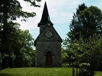 Chapel of Puy Rachat | |
Location of Nieudan | |
 Nieudan  Nieudan | |
| Coordinates: 44°59′05″N 2°14′38″E / 44.9847°N 2.2439°E | |
| Country | France |
| Region | Auvergne-Rhône-Alpes |
| Department | Cantal |
| Arrondissement | Aurillac |
| Canton | Saint-Paul-des-Landes |
| Government | |
| • Mayor (2020–2026) | Gérard Troupel[1] |
Area 1 | 12.4 km2 (4.8 sq mi) |
| Population (2022)[2] | 106 |
| • Density | 8.5/km2 (22/sq mi) |
| Time zone | UTC+01:00 (CET) |
| • Summer (DST) | UTC+02:00 (CEST) |
| INSEE/Postal code | 15143 /15150 |
| Elevation | 479–626 m (1,572–2,054 ft) (avg. 496 m or 1,627 ft) |
| 1 French Land Register data, which excludes lakes, ponds, glaciers > 1 km2 (0.386 sq mi or 247 acres) and river estuaries. | |
Nieudan (French pronunciation: [njødɑ̃]; Occitan: Nuòudòm) is a commune in the département of Cantal in south-central France.
Population
| Year | Pop. | ±% |
|---|---|---|
| 1962 | 134 | — |
| 1968 | 115 | −14.2% |
| 1975 | 105 | −8.7% |
| 1982 | 99 | −5.7% |
| 1990 | 97 | −2.0% |
| 1999 | 105 | +8.2% |
| 2006 | 106 | +1.0% |
| 2012 | 109 | +2.8% |
See also
References
- ^ "Répertoire national des élus: les maires" (in French). data.gouv.fr, Plateforme ouverte des données publiques françaises. 13 September 2022.
- ^ "Populations de référence 2022" (in French). The National Institute of Statistics and Economic Studies. 19 December 2024.
Wikimedia Commons has media related to Nieudan.