Louroux-de-Bouble
Louroux-de-Bouble | |
|---|---|
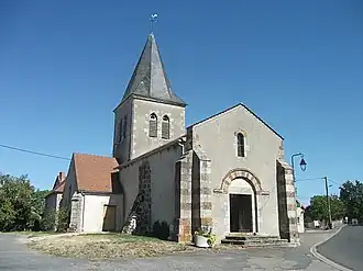 Church St. Laurent | |
.svg.png) Coat of arms | |
Location of Louroux-de-Bouble | |
 Louroux-de-Bouble  Louroux-de-Bouble | |
| Coordinates: 46°13′36″N 2°58′43″E / 46.2267°N 2.9786°E | |
| Country | France |
| Region | Auvergne-Rhône-Alpes |
| Department | Allier |
| Arrondissement | Vichy |
| Canton | Gannat |
| Intercommunality | Saint-Pourçain Sioule Limagne |
| Government | |
| • Mayor (2020–2026) | Arnaud Debrade[1] |
Area 1 | 16.87 km2 (6.51 sq mi) |
| Population (2022)[2] | 228 |
| • Density | 14/km2 (35/sq mi) |
| Time zone | UTC+01:00 (CET) |
| • Summer (DST) | UTC+02:00 (CEST) |
| INSEE/Postal code | 03152 /03330 |
| Elevation | 357–550 m (1,171–1,804 ft) (avg. 500 m or 1,600 ft) |
| 1 French Land Register data, which excludes lakes, ponds, glaciers > 1 km2 (0.386 sq mi or 247 acres) and river estuaries. | |
Louroux-de-Bouble (French pronunciation: [luʁu də bubl], literally Louroux of Bouble; Occitan: Luros-de-Bobla) is a commune in the Allier department in central France.[3]
Geography
The river Bouble flows northeast through the western part of the commune and forms part of its northern border.
Population
| Year | Pop. | ±% p.a. |
|---|---|---|
| 1968 | 403 | — |
| 1975 | 339 | −2.44% |
| 1982 | 303 | −1.59% |
| 1990 | 268 | −1.52% |
| 1999 | 283 | +0.61% |
| 2009 | 286 | +0.11% |
| 2014 | 260 | −1.89% |
| 2020 | 230 | −2.02% |
| Source: INSEE[4] | ||
See also
References
- ^ "Répertoire national des élus: les maires" (in French). data.gouv.fr, Plateforme ouverte des données publiques françaises. 13 September 2022.
- ^ "Populations de référence 2022" (in French). The National Institute of Statistics and Economic Studies. 19 December 2024.
- ^ INSEE commune file
- ^ Population en historique depuis 1968, INSEE
Wikimedia Commons has media related to Louroux-de-Bouble.