Hannogne-Saint-Rémy
Hannogne-Saint-Rémy | |
|---|---|
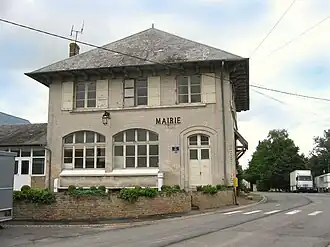 The town hall in Hannogne-Saint-Rémy | |
Location of Hannogne-Saint-Rémy | |
 Hannogne-Saint-Rémy  Hannogne-Saint-Rémy | |
| Coordinates: 49°36′20″N 4°08′18″E / 49.6056°N 4.1383°E | |
| Country | France |
| Region | Grand Est |
| Department | Ardennes |
| Arrondissement | Rethel |
| Canton | Château-Porcien |
| Government | |
| • Mayor (2020–2026) | Gonzague Gerard[1] |
Area 1 | 18.09 km2 (6.98 sq mi) |
| Population (2022)[2] | 111 |
| • Density | 6.1/km2 (16/sq mi) |
| Time zone | UTC+01:00 (CET) |
| • Summer (DST) | UTC+02:00 (CEST) |
| INSEE/Postal code | 08210 /08220 |
| Elevation | 133 m (436 ft) |
| 1 French Land Register data, which excludes lakes, ponds, glaciers > 1 km2 (0.386 sq mi or 247 acres) and river estuaries. | |
Hannogne-Saint-Rémy (French pronunciation: [anɔɲ sɛ̃ ʁemi]) is a commune in the Ardennes department in northern France.
Population
| Year | Pop. | ±% |
|---|---|---|
| 1962 | 169 | — |
| 1968 | 213 | +26.0% |
| 1975 | 197 | −7.5% |
| 1982 | 165 | −16.2% |
| 1990 | 121 | −26.7% |
| 1999 | 104 | −14.0% |
| 2008 | 116 | +11.5% |
See also
References
- ^ "Répertoire national des élus: les maires". data.gouv.fr, Plateforme ouverte des données publiques françaises (in French). 9 August 2021.
- ^ "Populations de référence 2022" (in French). The National Institute of Statistics and Economic Studies. 19 December 2024.
Wikimedia Commons has media related to Hannogne-Saint-Rémy.