Mazerny
Mazerny | |
|---|---|
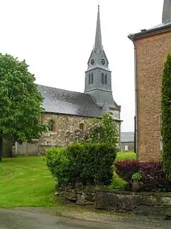 The church in Mazerny | |
Location of Mazerny | |
 Mazerny  Mazerny | |
| Coordinates: 49°36′38″N 4°36′50″E / 49.6106°N 4.6139°E | |
| Country | France |
| Region | Grand Est |
| Department | Ardennes |
| Arrondissement | Charleville-Mézières |
| Canton | Nouvion-sur-Meuse |
| Intercommunality | Crêtes Préardennaises |
| Government | |
| • Mayor (2020–2026) | Anne Oudart[1] |
Area 1 | 12.3 km2 (4.7 sq mi) |
| Population (2022)[2] | 128 |
| • Density | 10/km2 (27/sq mi) |
| Time zone | UTC+01:00 (CET) |
| • Summer (DST) | UTC+02:00 (CEST) |
| INSEE/Postal code | 08283 /08430 |
| Elevation | 220 m (720 ft) |
| 1 French Land Register data, which excludes lakes, ponds, glaciers > 1 km2 (0.386 sq mi or 247 acres) and river estuaries. | |
Mazerny (French pronunciation: [mazɛʁni]) is a commune in the Ardennes department in northern France.
Population
| Year | Pop. | ±% |
|---|---|---|
| 1968 | 150 | — |
| 1975 | 107 | −28.7% |
| 1982 | 111 | +3.7% |
| 1990 | 110 | −0.9% |
| 1999 | 112 | +1.8% |
| 2008 | 118 | +5.4% |
See also
References
- ^ "Répertoire national des élus: les maires". data.gouv.fr, Plateforme ouverte des données publiques françaises (in French). 9 August 2021.
- ^ "Populations de référence 2022" (in French). The National Institute of Statistics and Economic Studies. 19 December 2024.
Wikimedia Commons has media related to Mazerny.