Lametz
Lametz | |
|---|---|
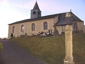 The church in Lametz | |
 Coat of arms | |
Location of Lametz | |
 Lametz  Lametz | |
| Coordinates: 49°31′53″N 4°41′27″E / 49.5314°N 4.6908°E | |
| Country | France |
| Region | Grand Est |
| Department | Ardennes |
| Arrondissement | Vouziers |
| Canton | Attigny |
| Intercommunality | Crêtes Préardennaises |
| Government | |
| • Mayor (2020–2026) | Thierry Warzee[1] |
Area 1 | 9.46 km2 (3.65 sq mi) |
| Population (2022)[2] | 76 |
| • Density | 8.0/km2 (21/sq mi) |
| Time zone | UTC+01:00 (CET) |
| • Summer (DST) | UTC+02:00 (CEST) |
| INSEE/Postal code | 08244 /08130 |
| Elevation | 157–198 m (515–650 ft) (avg. 170 m or 560 ft) |
| 1 French Land Register data, which excludes lakes, ponds, glaciers > 1 km2 (0.386 sq mi or 247 acres) and river estuaries. | |
Lametz (French pronunciation: [lame]) is a commune in the Ardennes department in northern France.
Population
| Year | Pop. | ±% |
|---|---|---|
| 1962 | 88 | — |
| 1968 | 100 | +13.6% |
| 1975 | 80 | −20.0% |
| 1982 | 75 | −6.2% |
| 1990 | 68 | −9.3% |
| 1999 | 77 | +13.2% |
| 2008 | 80 | +3.9% |
See also
References
- ^ "Répertoire national des élus: les maires". data.gouv.fr, Plateforme ouverte des données publiques françaises (in French). 9 August 2021.
- ^ "Populations de référence 2022" (in French). The National Institute of Statistics and Economic Studies. 19 December 2024.
Wikimedia Commons has media related to Lametz.