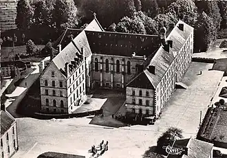
Perrou
Perrou | |
|---|---|
 | |
Location of Perrou | |
 Perrou  Perrou | |
| Coordinates: 48°34′27″N 0°33′21″W / 48.5742°N 0.5558°W | |
| Country | France |
| Region | Normandy |
| Department | Orne |
| Arrondissement | Alençon |
| Canton | Bagnoles de l'Orne Normandie |
| Intercommunality | Andaine-Passais |
| Government | |
| • Mayor (2020–2026) | Jeannine Rablineau[1] |
Area 1 | 4.34 km2 (1.68 sq mi) |
| Population (2022)[2] | 325 |
| • Density | 75/km2 (190/sq mi) |
| Time zone | UTC+01:00 (CET) |
| • Summer (DST) | UTC+02:00 (CEST) |
| INSEE/Postal code | 61326 /61700 |
| Elevation | 170–274 m (558–899 ft) (avg. 208 m or 682 ft) |
| 1 French Land Register data, which excludes lakes, ponds, glaciers > 1 km2 (0.386 sq mi or 247 acres) and river estuaries. | |
Perrou (French pronunciation: [pɛʁu] ⓘ) is a commune in the Orne department in north-western France.
Geography
Perrou along with the communes of Champsecret, Les Monts d'Andaine, Juvigny Val d'Andaine, Dompierre and Domfront en Poiraie shares part of the Bassin de l'Andainette a Natura 2000 conservation site.[3] The site measures 617 hectares and is home to creatures such as the Bullhead, Brook lamprey and white-clawed crayfish.[4]
See also
References
- ^ "Répertoire national des élus: les maires". data.gouv.fr, Plateforme ouverte des données publiques françaises (in French). 2 December 2020.
- ^ "Populations de référence 2022" (in French). The National Institute of Statistics and Economic Studies. 19 December 2024.
- ^ "INPN - FSD Natura 2000 - FR2500119 - Bassin de l'Andainette - Description".
- ^ "Bassin de l'Andainette" (PDF). Ministère de la Transition écologique.
Wikimedia Commons has media related to Perrou.