Arcey, Doubs
Arcey | |
|---|---|
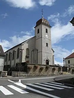 The church in Arcey | |
.svg.png) Coat of arms | |
Location of Arcey | |
 Arcey  Arcey | |
| Coordinates: 47°31′23″N 6°39′41″E / 47.5231°N 6.6614°E | |
| Country | France |
| Region | Bourgogne-Franche-Comté |
| Department | Doubs |
| Arrondissement | Montbéliard |
| Canton | Bavans |
| Government | |
| • Mayor (2023–2026) | Michaël Hugoniot[1] |
Area 1 | 12.57 km2 (4.85 sq mi) |
| Population (2022)[2] | 1,491 |
| • Density | 120/km2 (310/sq mi) |
| Time zone | UTC+01:00 (CET) |
| • Summer (DST) | UTC+02:00 (CEST) |
| INSEE/Postal code | 25022 /25750 |
| Elevation | 347–490 m (1,138–1,608 ft) |
| 1 French Land Register data, which excludes lakes, ponds, glaciers > 1 km2 (0.386 sq mi or 247 acres) and river estuaries. | |
Arcey (French pronunciation: [aʁsɛ]; Franc-Comtois: Airceis) is a commune in the Doubs department in the Bourgogne-Franche-Comté region in eastern France.
Geography
Arcey is located in the northeast of Bourgogne-Franche-Comté, about 12 km from Montbéliard, about 30 km (19 mi) from Belfort, about 60 km (37 mi) from Besançon, and about 25 km from the Swiss border.
Population
| Year | Pop. | ±% |
|---|---|---|
| 1962 | 489 | — |
| 1968 | 652 | +33.3% |
| 1975 | 917 | +40.6% |
| 1982 | 1,071 | +16.8% |
| 1990 | 1,101 | +2.8% |
| 1999 | 1,174 | +6.6% |
| 2008 | 1,374 | +17.0% |
| 2012 | 1,441 | +4.9% |
See also
References
- ^ "Répertoire national des élus: les maires" (in French). data.gouv.fr, Plateforme ouverte des données publiques françaises. 6 June 2023.
- ^ "Populations de référence 2022" (in French). The National Institute of Statistics and Economic Studies. 19 December 2024.
Wikimedia Commons has media related to Arcey (Doubs).