Passonfontaine
Passonfontaine | |
|---|---|
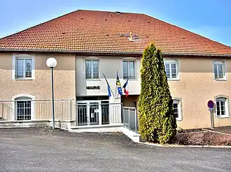 The town hall in Passonfontaine | |
Location of Passonfontaine | |
 Passonfontaine  Passonfontaine | |
| Coordinates: 47°06′31″N 6°25′10″E / 47.1086°N 6.4194°E | |
| Country | France |
| Region | Bourgogne-Franche-Comté |
| Department | Doubs |
| Arrondissement | Pontarlier |
| Canton | Valdahon |
| Government | |
| • Mayor (2020–2026) | Benoit Bouchard[1] |
Area 1 | 19.49 km2 (7.53 sq mi) |
| Population (2022)[2] | 334 |
| • Density | 17/km2 (44/sq mi) |
| Time zone | UTC+01:00 (CET) |
| • Summer (DST) | UTC+02:00 (CEST) |
| INSEE/Postal code | 25447 /25690 |
| Elevation | 715–960 m (2,346–3,150 ft) |
| 1 French Land Register data, which excludes lakes, ponds, glaciers > 1 km2 (0.386 sq mi or 247 acres) and river estuaries. | |
Passonfontaine (French pronunciation: [pasɔ̃fɔ̃tɛn]) is a commune in the Doubs department in the Bourgogne-Franche-Comté region in eastern France.
Population
| Year | Pop. | ±% |
|---|---|---|
| 1962 | 277 | — |
| 1968 | 290 | +4.7% |
| 1975 | 229 | −21.0% |
| 1982 | 217 | −5.2% |
| 1990 | 193 | −11.1% |
| 1999 | 227 | +17.6% |
| 2008 | 274 | +20.7% |
| 2012 | 294 | +7.3% |
See also
References
- ^ "Répertoire national des élus: les maires". data.gouv.fr, Plateforme ouverte des données publiques françaises (in French). 9 August 2021.
- ^ "Populations de référence 2022" (in French). The National Institute of Statistics and Economic Studies. 19 December 2024.
Wikimedia Commons has media related to Passonfontaine.