Mont-de-Vougney
Mont-de-Vougney | |
|---|---|
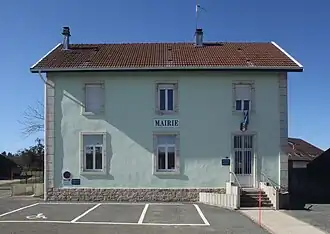 The town hall in Mont-de-Vougney | |
Location of Mont-de-Vougney | |
 Mont-de-Vougney  Mont-de-Vougney | |
| Coordinates: 47°14′47″N 6°43′55″E / 47.2464°N 6.7319°E | |
| Country | France |
| Region | Bourgogne-Franche-Comté |
| Department | Doubs |
| Arrondissement | Montbéliard |
| Canton | Maîche |
| Government | |
| • Mayor (2020–2026) | Jean-Pierre Etevenard[1] |
Area 1 | 7.03 km2 (2.71 sq mi) |
| Population (2022)[2] | 195 |
| • Density | 28/km2 (72/sq mi) |
| Time zone | UTC+01:00 (CET) |
| • Summer (DST) | UTC+02:00 (CEST) |
| INSEE/Postal code | 25392 /25120 |
| Elevation | 600–942 m (1,969–3,091 ft) |
| 1 French Land Register data, which excludes lakes, ponds, glaciers > 1 km2 (0.386 sq mi or 247 acres) and river estuaries. | |
Mont-de-Vougney (French pronunciation: [mɔ̃ də vuɲɛ]) is a commune in the Doubs department in the Bourgogne-Franche-Comté region in eastern France.
Geography
The commune lies 7 km (4.3 mi) southeast of Maîche. There are numerous caves on the territory of the commune.
Population
| Year | Pop. | ±% |
|---|---|---|
| 1962 | 105 | — |
| 1968 | 117 | +11.4% |
| 1975 | 119 | +1.7% |
| 1982 | 109 | −8.4% |
| 1990 | 122 | +11.9% |
| 1999 | 136 | +11.5% |
| 2008 | 166 | +22.1% |
| 2012 | 173 | +4.2% |
See also
References
- ^ "Répertoire national des élus: les maires" (in French). data.gouv.fr, Plateforme ouverte des données publiques françaises. 13 September 2022.
- ^ "Populations de référence 2022" (in French). The National Institute of Statistics and Economic Studies. 19 December 2024.
External links
Wikimedia Commons has media related to Mont-de-Vougney.