Fourbanne
Fourbanne | |
|---|---|
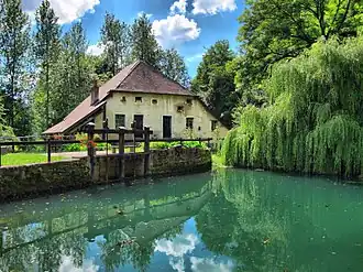 The mill in Fourbanne | |
Location of Fourbanne | |
 Fourbanne  Fourbanne | |
| Coordinates: 47°19′54″N 6°18′15″E / 47.3317°N 6.3042°E | |
| Country | France |
| Region | Bourgogne-Franche-Comté |
| Department | Doubs |
| Arrondissement | Besançon |
| Canton | Baume-les-Dames |
| Government | |
| • Mayor (2020–2026) | Laëtitia Journot[1] |
Area 1 | 1.97 km2 (0.76 sq mi) |
| Population (2022)[2] | 161 |
| • Density | 82/km2 (210/sq mi) |
| Time zone | UTC+01:00 (CET) |
| • Summer (DST) | UTC+02:00 (CEST) |
| INSEE/Postal code | 25251 /25110 |
| Elevation | 255–386 m (837–1,266 ft) |
| 1 French Land Register data, which excludes lakes, ponds, glaciers > 1 km2 (0.386 sq mi or 247 acres) and river estuaries. | |
Fourbanne (French pronunciation: [fuʁban]) is a commune in the Doubs department in the Bourgogne-Franche-Comté region in eastern France.
Population
| Year | Pop. | ±% |
|---|---|---|
| 1962 | 38 | — |
| 1968 | 38 | +0.0% |
| 1975 | 38 | +0.0% |
| 1982 | 64 | +68.4% |
| 1990 | 60 | −6.2% |
| 1999 | 96 | +60.0% |
| 2008 | 176 | +83.3% |
| 2012 | 174 | −1.1% |
See also
References
- ^ "Répertoire national des élus: les maires". data.gouv.fr, Plateforme ouverte des données publiques françaises (in French). 9 August 2021.
- ^ "Populations de référence 2022" (in French). The National Institute of Statistics and Economic Studies. 19 December 2024.
Wikimedia Commons has media related to Fourbanne.