Longemaison
Longemaison | |
|---|---|
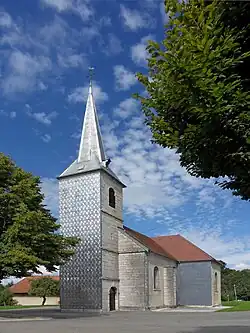 The church in Longemaison | |
Location of Longemaison | |
 Longemaison  Longemaison | |
| Coordinates: 47°04′56″N 6°27′36″E / 47.0822°N 6.46°E | |
| Country | France |
| Region | Bourgogne-Franche-Comté |
| Department | Doubs |
| Arrondissement | Pontarlier |
| Canton | Valdahon |
| Government | |
| • Mayor (2020–2026) | Claude Brisebard[1] |
Area 1 | 9.63 km2 (3.72 sq mi) |
| Population (2022)[2] | 163 |
| • Density | 17/km2 (44/sq mi) |
| Time zone | UTC+01:00 (CET) |
| • Summer (DST) | UTC+02:00 (CEST) |
| INSEE/Postal code | 25343 /25690 |
| Elevation | 730–1,091 m (2,395–3,579 ft) |
| 1 French Land Register data, which excludes lakes, ponds, glaciers > 1 km2 (0.386 sq mi or 247 acres) and river estuaries. | |
Longemaison (French pronunciation: [lɔ̃ʒmɛzɔ̃]) is a commune in the Doubs département in the Bourgogne-Franche-Comté region in eastern France.
Geography
The village likes on the wooded slopes of the Mont Chaumont, which is the highest point of the commune at 1092 meters.
Population
| Year | Pop. | ±% |
|---|---|---|
| 1962 | 187 | — |
| 1968 | 191 | +2.1% |
| 1975 | 140 | −26.7% |
| 1982 | 116 | −17.1% |
| 1990 | 112 | −3.4% |
| 1999 | 121 | +8.0% |
| 2008 | 131 | +8.3% |
| 2012 | 136 | +3.8% |
See also
References
- ^ "Répertoire national des élus: les maires". data.gouv.fr, Plateforme ouverte des données publiques françaises (in French). 2 December 2020.
- ^ "Populations de référence 2022" (in French). The National Institute of Statistics and Economic Studies. 19 December 2024.
External links
Wikimedia Commons has media related to Longemaison.