Humerœuille
Humerœuille | |
|---|---|
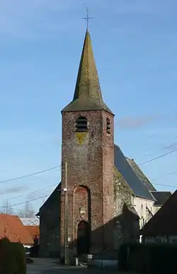 The church of Humerœuille | |
 Coat of arms | |
Location of Humerœuille | |
 Humerœuille  Humerœuille | |
| Coordinates: 50°24′19″N 2°12′51″E / 50.4053°N 2.2142°E / 50.4053; 2.2142 | |
| Country | France |
| Region | Hauts-de-France |
| Department | Pas-de-Calais |
| Arrondissement | Arras |
| Canton | Saint-Pol-sur-Ternoise |
| Intercommunality | CC Ternois |
| Government | |
| • Mayor (2020–2026) | Denis Gourdin[1] |
Area 1 | 3.23 km2 (1.25 sq mi) |
| Population (2022)[2] | 179 |
| • Density | 55/km2 (140/sq mi) |
| Time zone | UTC+01:00 (CET) |
| • Summer (DST) | UTC+02:00 (CEST) |
| INSEE/Postal code | 62467 /62130 |
| Elevation | 84–131 m (276–430 ft) (avg. 118 m or 387 ft) |
| 1 French Land Register data, which excludes lakes, ponds, glaciers > 1 km2 (0.386 sq mi or 247 acres) and river estuaries. | |
Humerœuille (French pronunciation: [ymʁœj]) is a commune in the Pas-de-Calais department in the Hauts-de-France region of France[3] 28 miles (45 km) west of Arras.
Population
The inhabitants are called Humerœuillois.
| Year | Pop. | ±% p.a. |
|---|---|---|
| 1968 | 175 | — |
| 1975 | 156 | −1.63% |
| 1982 | 170 | +1.24% |
| 1990 | 176 | +0.43% |
| 1999 | 143 | −2.28% |
| 2007 | 147 | +0.35% |
| 2012 | 148 | +0.14% |
| 2017 | 176 | +3.53% |
| Source: INSEE[4] | ||
See also
References
- ^ "Répertoire national des élus: les maires". data.gouv.fr, Plateforme ouverte des données publiques françaises (in French). 9 August 2021.
- ^ "Populations de référence 2022" (in French). The National Institute of Statistics and Economic Studies. 19 December 2024.
- ^ INSEE commune file
- ^ Population en historique depuis 1968, INSEE
External links
Wikimedia Commons has media related to Humerœuille.
This article is issued from Wikipedia. The text is available under Creative Commons Attribution-Share Alike 4.0 unless otherwise noted. Additional terms may apply for the media files.