Simencourt
Simencourt | |
|---|---|
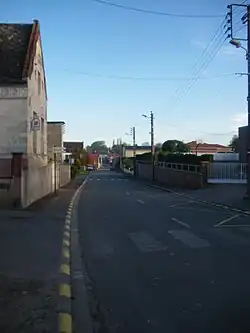 The main road of Simencourt | |
 Coat of arms | |
Location of Simencourt | |
 Simencourt  Simencourt | |
| Coordinates: 50°15′32″N 2°38′38″E / 50.2589°N 2.6439°E / 50.2589; 2.6439 | |
| Country | France |
| Region | Hauts-de-France |
| Department | Pas-de-Calais |
| Arrondissement | Arras |
| Canton | Avesnes-le-Comte |
| Intercommunality | CC Campagnes de l'Artois |
| Government | |
| • Mayor (2020–2026) | Françoise Simon-Pruvost[1] |
Area 1 | 5.06 km2 (1.95 sq mi) |
| Population (2022)[2] | 567 |
| • Density | 110/km2 (290/sq mi) |
| Time zone | UTC+01:00 (CET) |
| • Summer (DST) | UTC+02:00 (CEST) |
| INSEE/Postal code | 62796 /62123 |
| Elevation | 91–140 m (299–459 ft) (avg. 90 m or 300 ft) |
| 1 French Land Register data, which excludes lakes, ponds, glaciers > 1 km2 (0.386 sq mi or 247 acres) and river estuaries. | |
Simencourt (French pronunciation: [simɑ̃kuʁ]) is a commune in the Pas-de-Calais department in the Hauts-de-France region of France[3] 7 miles (11 km) southwest of Arras.
Population
| Year | Pop. | ±% p.a. |
|---|---|---|
| 1968 | 360 | — |
| 1975 | 361 | +0.04% |
| 1982 | 413 | +1.94% |
| 1990 | 523 | +3.00% |
| 1999 | 534 | +0.23% |
| 2007 | 544 | +0.23% |
| 2012 | 535 | −0.33% |
| 2017 | 557 | +0.81% |
| Source: INSEE[4] | ||
See also
References
- ^ "Répertoire national des élus: les maires". data.gouv.fr, Plateforme ouverte des données publiques françaises (in French). 9 August 2021.
- ^ "Populations de référence 2022" (in French). The National Institute of Statistics and Economic Studies. 19 December 2024.
- ^ INSEE commune file
- ^ Population en historique depuis 1968, INSEE
Wikimedia Commons has media related to Simencourt.
This article is issued from Wikipedia. The text is available under Creative Commons Attribution-Share Alike 4.0 unless otherwise noted. Additional terms may apply for the media files.