Plouvain
Plouvain | |
|---|---|
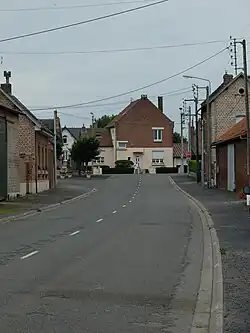 The main road of Plouvain | |
 Coat of arms | |
Location of Plouvain | |
 Plouvain  Plouvain | |
| Coordinates: 50°18′25″N 2°55′35″E / 50.3069°N 2.9264°E | |
| Country | France |
| Region | Hauts-de-France |
| Department | Pas-de-Calais |
| Arrondissement | Arras |
| Canton | Brebières |
| Intercommunality | CC Osartis Marquion |
| Government | |
| • Mayor (2024–2026) | Raoul Lesage[1] |
Area 1 | 2.41 km2 (0.93 sq mi) |
| Population (2022)[2] | 454 |
| • Density | 190/km2 (490/sq mi) |
| Time zone | UTC+01:00 (CET) |
| • Summer (DST) | UTC+02:00 (CEST) |
| INSEE/Postal code | 62660 /62118 |
| Elevation | 42–71 m (138–233 ft) (avg. 61 m or 200 ft) |
| 1 French Land Register data, which excludes lakes, ponds, glaciers > 1 km2 (0.386 sq mi or 247 acres) and river estuaries. | |
Plouvain (French pronunciation: [pluvɛ̃]) is a commune in the Pas-de-Calais department in the Hauts-de-France region of France.[3]
Geography
Plouvain is situated 5 miles (8 km) east of Arras, at the junction of the D42 and the D46 roads. The junction of the A1 and the A26 autoroutes is less than a mile away.
Population
| Year | Pop. | ±% p.a. |
|---|---|---|
| 1968 | 288 | — |
| 1975 | 309 | +1.01% |
| 1982 | 386 | +3.23% |
| 1990 | 439 | +1.62% |
| 1999 | 460 | +0.52% |
| 2007 | 482 | +0.59% |
| 2012 | 451 | −1.32% |
| 2017 | 454 | +0.13% |
| Source: INSEE[4] | ||
Places of interest
- The church of St. Anne, rebuilt along with the rest of the village, after World War I.
- The Commonwealth War Graves Commission burials.
See also
References
- ^ "Répertoire national des élus: les maires" (in French). data.gouv.fr, Plateforme ouverte des données publiques françaises. 16 April 2024.
- ^ "Populations de référence 2022" (in French). The National Institute of Statistics and Economic Studies. 19 December 2024.
- ^ INSEE commune file
- ^ Population en historique depuis 1968, INSEE
External links