Aurensan, Gers
Aurensan | |
|---|---|
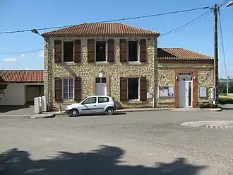 The town hall in Aurensan | |
Location of Aurensan | |
 Aurensan  Aurensan | |
| Coordinates: 43°37′09″N 0°12′09″W / 43.6192°N 0.2025°W | |
| Country | France |
| Region | Occitania |
| Department | Gers |
| Arrondissement | Mirande |
| Canton | Adour-Gersoise |
| Intercommunality | CC Aire-sur-l'Adour |
| Government | |
| • Mayor (2020–2026) | Roland Dupouts[1] |
Area 1 | 6.33 km2 (2.44 sq mi) |
| Population (2022)[2] | 132 |
| • Density | 21/km2 (54/sq mi) |
| Time zone | UTC+01:00 (CET) |
| • Summer (DST) | UTC+02:00 (CEST) |
| INSEE/Postal code | 32017 /32400 |
| Elevation | 94–228 m (308–748 ft) (avg. 170 m or 560 ft) |
| 1 French Land Register data, which excludes lakes, ponds, glaciers > 1 km2 (0.386 sq mi or 247 acres) and river estuaries. | |
Aurensan is a commune in the Gers department in southwestern France.
Geography

Population
| Year | Pop. | ±% |
|---|---|---|
| 1962 | 189 | — |
| 1968 | 170 | −10.1% |
| 1975 | 171 | +0.6% |
| 1982 | 167 | −2.3% |
| 1990 | 136 | −18.6% |
| 1999 | 129 | −5.1% |
| 2008 | 128 | −0.8% |
| 2015 | 135 | +5.5% |
See also
References
- ^ "Répertoire national des élus: les maires". data.gouv.fr, Plateforme ouverte des données publiques françaises (in French). 9 August 2021.
- ^ "Populations de référence 2022" (in French). The National Institute of Statistics and Economic Studies. 19 December 2024.
Wikimedia Commons has media related to Aurensan (Gers).