Viella, Gers
Viella | |
|---|---|
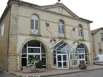 The town hall in Viella | |
.svg.png) Coat of arms | |
Location of Viella | |
 Viella  Viella | |
| Coordinates: 43°35′58″N 0°08′19″W / 43.5994°N 0.1386°W | |
| Country | France |
| Region | Occitania |
| Department | Gers |
| Arrondissement | Mirande |
| Canton | Adour-Gersoise |
| Government | |
| • Mayor (2024–2026) | Christophe Langlade[1] |
Area 1 | 22.02 km2 (8.50 sq mi) |
| Population (2022)[2] | 523 |
| • Density | 24/km2 (62/sq mi) |
| Time zone | UTC+01:00 (CET) |
| • Summer (DST) | UTC+02:00 (CEST) |
| INSEE/Postal code | 32463 /32400 |
| Elevation | 109–250 m (358–820 ft) (avg. 241 m or 791 ft) |
| 1 French Land Register data, which excludes lakes, ponds, glaciers > 1 km2 (0.386 sq mi or 247 acres) and river estuaries. | |
Viella (French pronunciation: [vjɛla]; Occitan: Vielar) is a commune in the Gers department in southwestern France.
Geography

Population
| Year | Pop. | ±% |
|---|---|---|
| 1962 | 705 | — |
| 1968 | 674 | −4.4% |
| 1975 | 595 | −11.7% |
| 1982 | 626 | +5.2% |
| 1990 | 580 | −7.3% |
| 1999 | 560 | −3.4% |
| 2008 | 528 | −5.7% |
See also
References
- ^ "Répertoire national des élus: les maires" (in French). data.gouv.fr, Plateforme ouverte des données publiques françaises. 12 March 2025.
- ^ "Populations de référence 2022" (in French). The National Institute of Statistics and Economic Studies. 19 December 2024.
Wikimedia Commons has media related to Viella (Gers).