Saint-Germier, Gers
Saint-Germier | |
|---|---|
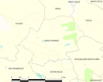
Location of Saint-Germier | |
 Saint-Germier  Saint-Germier | |
| Coordinates: 43°40′04″N 0°57′06″E / 43.6678°N 0.9517°E | |
| Country | France |
| Region | Occitania |
| Department | Gers |
| Arrondissement | Condom |
| Canton | Gimone-Arrats |
| Government | |
| • Mayor (2020–2026) | Marie-José Seychal[1] |
Area 1 | 7.05 km2 (2.72 sq mi) |
| Population (2022)[2] | 216 |
| • Density | 31/km2 (79/sq mi) |
| Time zone | UTC+01:00 (CET) |
| • Summer (DST) | UTC+02:00 (CEST) |
| INSEE/Postal code | 32379 /32200 |
| Elevation | 145–213 m (476–699 ft) (avg. 200 m or 660 ft) |
| 1 French Land Register data, which excludes lakes, ponds, glaciers > 1 km2 (0.386 sq mi or 247 acres) and river estuaries. | |
Saint-Germier (French pronunciation: [sɛ̃ ʒɛʁmje]; Gascon: Sent Germer) is a commune in the Gers department in southwestern France.
Geography
Population
| Year | Pop. | ±% |
|---|---|---|
| 1962 | 121 | — |
| 1968 | 121 | +0.0% |
| 1975 | 92 | −24.0% |
| 1982 | 96 | +4.3% |
| 1990 | 112 | +16.7% |
| 1999 | 115 | +2.7% |
| 2008 | 200 | +73.9% |
See also
References
- ^ "Répertoire national des élus: les maires". data.gouv.fr, Plateforme ouverte des données publiques françaises (in French). 9 August 2021.
- ^ "Populations de référence 2022" (in French). The National Institute of Statistics and Economic Studies. 19 December 2024.
Wikimedia Commons has media related to Saint-Germier (Gers).