Crastes
Crastes | |
|---|---|
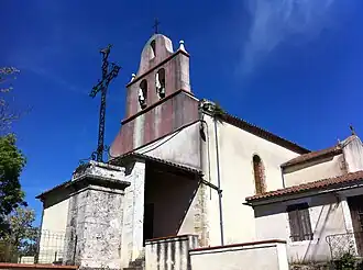 The church in Crastes | |
Location of Crastes | |
 Crastes  Crastes | |
| Coordinates: 43°43′28″N 0°43′51″E / 43.7244°N 0.7308°E | |
| Country | France |
| Region | Occitania |
| Department | Gers |
| Arrondissement | Auch |
| Canton | Gascogne-Auscitaine |
| Intercommunality | CA Grand Auch Cœur Gascogne |
| Government | |
| • Mayor (2020–2026) | Sébastien Dabasse[1] |
Area 1 | 19.25 km2 (7.43 sq mi) |
| Population (2022)[2] | 261 |
| • Density | 14/km2 (35/sq mi) |
| Time zone | UTC+01:00 (CET) |
| • Summer (DST) | UTC+02:00 (CEST) |
| INSEE/Postal code | 32112 /32270 |
| Elevation | 131–272 m (430–892 ft) (avg. 245 m or 804 ft) |
| 1 French Land Register data, which excludes lakes, ponds, glaciers > 1 km2 (0.386 sq mi or 247 acres) and river estuaries. | |
Crastes (French pronunciation: [kʁast]; Occitan: Crastas) is a commune in the Gers department in southwestern France.
Geography
The river Auroue has its source in the commune.

Population
| Year | Pop. | ±% |
|---|---|---|
| 1962 | 297 | — |
| 1968 | 299 | +0.7% |
| 1975 | 236 | −21.1% |
| 1982 | 234 | −0.8% |
| 1990 | 221 | −5.6% |
| 1999 | 205 | −7.2% |
| 2008 | 233 | +13.7% |
See also
References
- ^ "Répertoire national des élus: les maires" (in French). data.gouv.fr, Plateforme ouverte des données publiques françaises. 13 September 2022.
- ^ "Populations de référence 2022" (in French). The National Institute of Statistics and Economic Studies. 19 December 2024.
Wikimedia Commons has media related to Crastes.