Labastide-Savès
Labastide-Savès
La Bastida de Savés (Occitan) | |
|---|---|
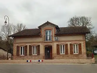 Labastide-Savès Town Hall | |
Location of Labastide-Savès | |
 Labastide-Savès  Labastide-Savès | |
| Coordinates: 43°31′14″N 0°58′54″E / 43.5206°N 0.9817°E | |
| Country | France |
| Region | Occitania |
| Department | Gers |
| Arrondissement | Auch |
| Canton | Val de Save |
| Government | |
| • Mayor (2020–2026) | Thierry Reveil[1] |
Area 1 | 3.62 km2 (1.40 sq mi) |
| Population (2022)[2] | 187 |
| • Density | 52/km2 (130/sq mi) |
| Time zone | UTC+01:00 (CET) |
| • Summer (DST) | UTC+02:00 (CEST) |
| INSEE/Postal code | 32171 /32130 |
| Elevation | 153–220 m (502–722 ft) (avg. 162 m or 531 ft) |
| 1 French Land Register data, which excludes lakes, ponds, glaciers > 1 km2 (0.386 sq mi or 247 acres) and river estuaries. | |
Labastide-Savès (French pronunciation: [labastid savɛs]; Occitan: La Bastida de Savés) is a commune in the Gers department in the Occitania region in Southwestern France.
Geography

Demographics
| Year | Pop. | ±% p.a. |
|---|---|---|
| 1968 | 128 | — |
| 1975 | 144 | +1.70% |
| 1982 | 112 | −3.53% |
| 1990 | 116 | +0.44% |
| 1999 | 117 | +0.10% |
| 2009 | 132 | +1.21% |
| 2014 | 160 | +3.92% |
| 2020 | 180 | +1.98% |
| Source: INSEE[3] | ||
See also
References
- ^ "Répertoire national des élus: les maires". data.gouv.fr, Plateforme ouverte des données publiques françaises (in French). 2 December 2020.
- ^ "Populations de référence 2022" (in French). The National Institute of Statistics and Economic Studies. 19 December 2024.
- ^ Population en historique depuis 1968, INSEE
Wikimedia Commons has media related to Labastide-Savès.