Mongausy
Mongausy | |
|---|---|
.svg.png) Coat of arms | |
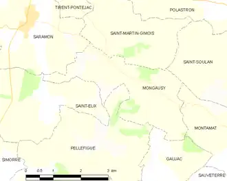
Location of Mongausy | |
 Mongausy  Mongausy | |
| Coordinates: 43°30′31″N 0°48′25″E / 43.5086°N 0.8069°E | |
| Country | France |
| Region | Occitania |
| Department | Gers |
| Arrondissement | Auch |
| Canton | Val de Save |
| Government | |
| • Mayor (2021–2026) | Michelle Idrac[1] |
Area 1 | 7.41 km2 (2.86 sq mi) |
| Population (2022)[2] | 90 |
| • Density | 12/km2 (31/sq mi) |
| Time zone | UTC+01:00 (CET) |
| • Summer (DST) | UTC+02:00 (CEST) |
| INSEE/Postal code | 32270 /32220 |
| Elevation | 177–305 m (581–1,001 ft) (avg. 297 m or 974 ft) |
| 1 French Land Register data, which excludes lakes, ponds, glaciers > 1 km2 (0.386 sq mi or 247 acres) and river estuaries. | |
Mongausy (French pronunciation: [mɔ̃ɡozi]; Gascon: Montgausin) is a commune in the Gers department in southwestern France.
Geography
Population
| Year | Pop. | ±% |
|---|---|---|
| 1962 | 108 | — |
| 1968 | 83 | −23.1% |
| 1975 | 89 | +7.2% |
| 1982 | 77 | −13.5% |
| 1990 | 75 | −2.6% |
| 1999 | 64 | −14.7% |
| 2008 | 76 | +18.8% |
See also
References
- ^ "Répertoire national des élus: les maires" (in French). data.gouv.fr, Plateforme ouverte des données publiques françaises. 4 May 2022.
- ^ "Populations de référence 2022" (in French). The National Institute of Statistics and Economic Studies. 19 December 2024.
Wikimedia Commons has media related to Mongausy.