Puységur, Gers
Puységur | |
|---|---|
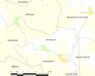
Location of Puységur | |
 Puységur  Puységur | |
| Coordinates: 43°46′37″N 0°36′18″E / 43.77694°N 0.60500°E | |
| Country | France |
| Region | Occitania |
| Department | Gers |
| Arrondissement | Condom |
| Canton | Fleurance-Lomagne |
| Intercommunality | Lomagne Gersoise |
| Government | |
| • Mayor (2020–2026) | Danièle Guilbert[1] |
Area 1 | 7.26 km2 (2.80 sq mi) |
| Population (2022)[2] | 73 |
| • Density | 10/km2 (26/sq mi) |
| Time zone | UTC+01:00 (CET) |
| • Summer (DST) | UTC+02:00 (CEST) |
| INSEE/Postal code | 32337 /32390 |
| Elevation | 100–191 m (328–627 ft) (avg. 150 m or 490 ft) |
| 1 French Land Register data, which excludes lakes, ponds, glaciers > 1 km2 (0.386 sq mi or 247 acres) and river estuaries. | |
Puységur (French pronunciation: [pɥiseɡyʁ]; Occitan: Poishegur) is a commune in the Gers department in southwestern France.
Geography
Population
| Year | Pop. | ±% |
|---|---|---|
| 1962 | 69 | — |
| 1968 | 51 | −26.1% |
| 1975 | 67 | +31.4% |
| 1982 | 76 | +13.4% |
| 1990 | 90 | +18.4% |
| 1999 | 80 | −11.1% |
| 2008 | 73 | −8.8% |
See also
References
- ^ "Répertoire national des élus: les maires". data.gouv.fr, Plateforme ouverte des données publiques françaises (in French). 2 December 2020.
- ^ "Populations de référence 2022" (in French). The National Institute of Statistics and Economic Studies. 19 December 2024.
Wikimedia Commons has media related to Puységur.